
Look Here for Links!
Browse through for some popular educational resources
Browse through for some popular educational resources
Explore the new USGS Pacific Islands Climate Adaptation Science Center's K-12 Education Hub
Geology and Ecology of National Parks
Take a look at our national parks through photographs and descriptions of the geology and ecology of the landscapes.
Take a look at our national parks through photographs and descriptions of the geology and ecology of the landscapes.
Educational Resources
Tap into over 140 years of USGS research in the natural sciences with lesson plans, activities, maps, podcasts, lectures, videos, animations, and more. Select from the SCIENCE TOPICS on the left-hand navigation bar or the titles BELOW the images under Educational Topics, which will guide you to lessons & activities.
Educational Topics

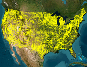
Sources/Usage: Public Domain. View Media Details
Sources/Usage: Public Domain. View Media Details

Sources/Usage: Public Domain. View Media Details

Sources/Usage: Public Domain. View Media Details

Sources/Usage: Public Domain. View Media Details

Sources/Usage: Public Domain. View Media Details

Sources/Usage: Public Domain. View Media Details

Sources/Usage: Public Domain. View Media Details

Sources/Usage: Public Domain. View Media Details

Sources/Usage: Public Domain. View Media Details